Waverley Way
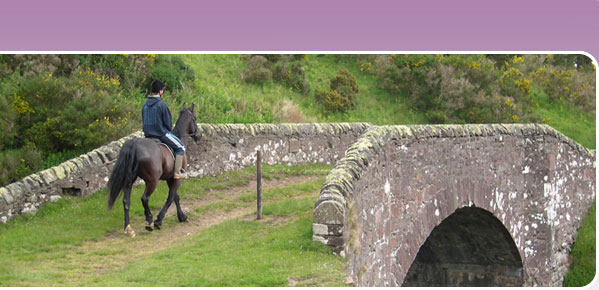
The Waverley Way is the old railway line between Hawick and Carlisle. Most of the section between Hawick and Steele Road, just north of Newcastleton, has been developed as a multi-use trail as part of the 350km South of Scotland Countryside Trails network. Where sections of the original track were unsuitable for public access, such as Whitrope Tunnel, a new path has been created. Some sections are still being resolved.
Scottish Borders Council are now responsible for the Waverley Way. For further information telephone 01835 826509.
You should be able to download a map of the Waverley Way route from BHS EMAGIN, but we regret there are currently problems with the online mapping for this route. We are doing our best to resolve these as soon as possible, and will set up a direct link from this page.
Although the Waverley Way is shown on the map as running right the way into Hawick, it is understood that there are problems with following it (particularly on horseback) between Hawick and Flex, and in the past there have been issues with pigs on the line of the disused railway immediatley south of Flex, but you can get onto the disused railway line off the B6399 south of Flex, or by the waymarked path east of Williestruther Loch and Acreknowe Reservoir.
A visitor centre based on the disused railway is being developed at Whitrope, between Newcastleton and Hawick, where the railway line crosses to the east of the B6399. At Riccarton Junction, the track splits. The eastern arm heading towards Saughtree is understood to be blocked by vegetation. The waymarked route continues on the main track south towards Steele Road, linking onto the public road at OSGR NY533938.
Services
There are no services along the Waverley Way, and even farms are few and far between on the road between Hawick and Newcastleton, although there are plenty of shops and pubs to choose from at either of these places.
Linking routes
Waverley Way links directly with the Hawick Riding Route.
The southern end of the Waverley Way links via a short section of quiet road to the Bloody Bush route, which links through via Kielder to the Border County Ride and proposed Pennine Bridleway northern extension.